Turks and Caicos Islands Tours and Prices Turks and Caicos Islands
 The Turks and Caicos Islands are the UK-dependent territories in the Caribbean. As the name implies, these are two groups of islands with a total number of about 30, but only 8 of them are constantly inhabited.
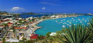
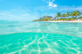
The most popular holiday is on the island of Providenciales (Provo), the white beaches of which are often included in the ratings of the best beaches in the world.
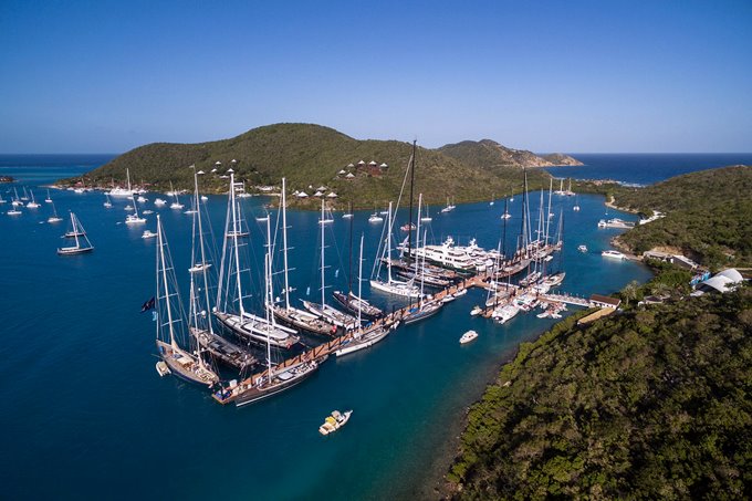
The islands also attract divers from all over the world who seek to see one of the largest coral reefs on the planet.
Geographical location of Turks and Caicos Islands
Turks and Caicos Islands; Geographical coordinates: 21.505, -71.754; Click to view on Google maps – two groups of islands of the Atlantic Ocean that make up the southeastern tip of the Bahamas archipelago (however, they are not politically included in the Bahamas). Haiti (Hispaniola) is 144 km south of the islands.
The total land area of the Turks and Caicos Islands is about 430 km2. The islands are mostly lowland, composed of sandstone. The highest (the highest point is 49 m) – it is also the most densely populated island – Providenciales.
Climate of Turks and Caicos Islands
The climate of the islands is tropical trade wind. The average temperature in winter is about 27–28, in summer – + 32 ° C. The heat is mitigated by the trade winds. The water temperature in winter is + 23-26, in summer – + 28-29 ° C. In the year approx. 350 sunny days. From June to October there is a chance of hurricanes.
The best time to visit the Turks and Caicos Islands is considered to be the period from mid-December to mid-July.
Features of Turks and Caicos Islands
Political structure
Turks and Caicos Islands – overseas territories of Great Britain. The nominal ruler of the islands is the British Queen, but the local government is carried out by the government and parliament. The Executive Council (Government) of Turks and Caicos Islands is headed by the Governor. The Assembly (Parliament) is partially elected, partially appointed.
The capital of the Turks and Caicos Islands is the city of Coburn Town; Geographical coordinates: 21.460278, -71.141389; Click to view on Google Maps (also Cockburn Town, Cockburn Town) on Grand Turk Island.
Population
Residents of the Turks and Caicos Islands
Before the discovery by the Spaniards in 1512, the islands were uninhabited and colonized by the British from the Bermuda archipelago. The British brought black slaves to work on plantations.
Currently, the population of the islands is approx. 45 thousand people, the vast majority of which (about 85%) live on the island of Providenciales.
About 90% of the islanders are blacks, part of the mulattos. The whites are mostly visiting Americans and Canadians.
The official language is English. Literate 99% of the population.
Most of the population are Christians of various (mainly Protestant) denominations. Also on the islands lives approx. 50 Muslims.
Currency
The US dollar is used as the national currency of the Turks and Caicos Islands. We accept traveller’s checks and major credit cards.
Customs regulations
Import and export of currency is not limited. Persons over the age of 18 are allowed duty free import of up to 200 cigarettes or 50 cigars or 125 g of tobacco products; up to 1.13 liters of alcoholic beverages or up to 2 liters of wine.
The import of drugs and narcotic drugs, pornography of all types and harpoon weapons for fishing is prohibited. A permit is required for the import of firearms.
Time
Turks and Caicos Islands are in the GMT-3 time zone in summer and GMT-4 in winter.
How to get to Turks and Caicos Islands
A traditional British Airways flight through London with a technical landing in the Bahamas. If the connection time does not exceed 12 hours, you do not have to apply for an English visa.
The international airport of Turks and Caicos Islands is located on the island of Providenciales and is called Providenciales International Airport (IATA code PLS, ICAO code MBPV).
Tourist Safety
The islands are safe for recreation, the crime rate is low. Naked and partially nude are prohibited on all public beaches.
Care must be taken when swimming and diving. You can swim only in strictly designated places – the local beaches, although quite well equipped, are only safe area between the reef and the coast. On the outside of the reefs, the seabed has a very large slope, and the waters are populated by many dangerous inhabitants. The currents washing the outside of the reefs are very strong, and surf and tidal currents also pose a certain danger.
Climate of Turks and Caicos Islands
The climate is tropical marine, sunny and relatively dry. The average temperature in winter is around + 27 … + 28 ° C, in summer +32 ° C. Water temperature in winter + 23 … + 26 ° C, in summer + 28 … + 29 ° C. Tropical trade winds blow throughout the year; the strongest winds are possible in August-September. The best time to visit the country is from mid-December to mid-July.
Hotels
The hotels of Turks and Caicos, as expected in an average paradise, are very high-quality, with a full range of services and entertainment. Hotels are both modest, colonial, urban, and excellent “fives” directly on the ocean.